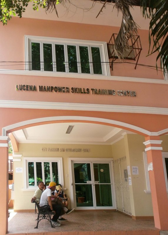
City Planning and Development Office
The City Planning and Development Office or CPDO in Lucena City is a government office which issues the Certificate of Land Use (locational clearance) and handles other processes that are needed for land conversion in accordance to Comprehensive Land Use Plan (CLUP). The office is also open for land developers, land owners, students and researchers who are in need of GIS (Geographic Information System) Maps to be used as their references.
Functions:
- Formulate integrated economic, physical, and other development plans and policies;
- Conduct continuing studies, research, and training programs;
- Integrate and coordinate all sectoral plans and studies;
- Monitor and evaluate the implementation of the different development programs, projects and activities;
- Prepare comprehensive development plans and other planning documents;
- Analyze the income and expenditure patterns, and formulate and recommend fiscal plans and policies;
- Promote people participation in development planning; and
- Exercise supervision and control over the secretariat of the LDC
How to get the Certificate of Land Use at CPDO
If you need to get a Certificate of Land Use or locational clearance at CPDO you must prepare the following:
Barangay clearance
Transfer Certificate of Title (TCT)
Photocopy of your latest real property tax receipt/tax declaration
Duly filled-up request form from CPDO
Fees
Proceed to the City Planning and Development Office which is located at the back of the City Hall Annex to submit all the necessary requirements. Application for the clearance/certification usually takes up to an hour and the fees to be paid depends on the kind of certificate/clearance that is to be issued.
How to get a GIS Map (for research/reference purposes)
Students/researchers that are in need of a GIS Map of Lucena City for reference purposes must present a valid ID to the Administrative Officer and they are to be given a copy of the map to be photocopied. The original copies are to be returned to the City Planning Office. If the GIS Map is to be used by the Local or National Office, a request letter indicating the use of the map is to be presented along with a valid ID and they must wait for the approval of the City Planning and Development Officer. Certain fees must also be paid depending on the type and size of the GIS Map that is to be generated by the office.
For Questions and Other Information regarding the services of this Office, you may drop by at their office at:
City Planning and Development Office
City Hall Annex
Brgy. Isabang, Lucena City
Contact No. (042) 373-1329
Contact Person:
Ofelia S. Garcia
Coordinator, LMSTC/CPDO
Source:
Leo A. Lagos
LMSTC Assistant Coordinator

 Philippine Peso